Services
Our Services include:
- Aerial Photo Processing
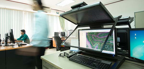
- Stereo Compilation
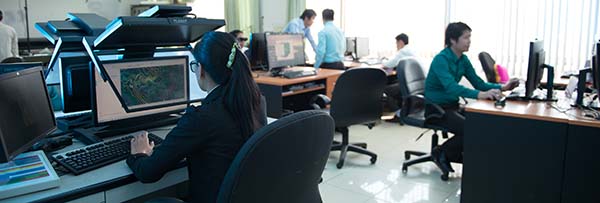
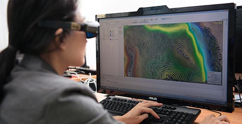
- Digital Photogrammetric Mapping
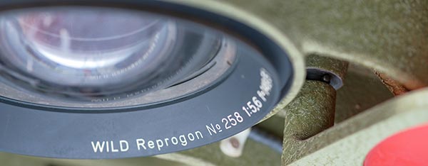
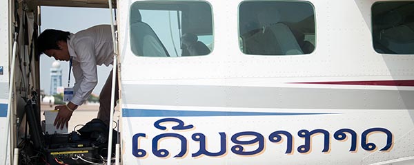
- Aerial Photography
- Field Compilation and Photo Interpretation
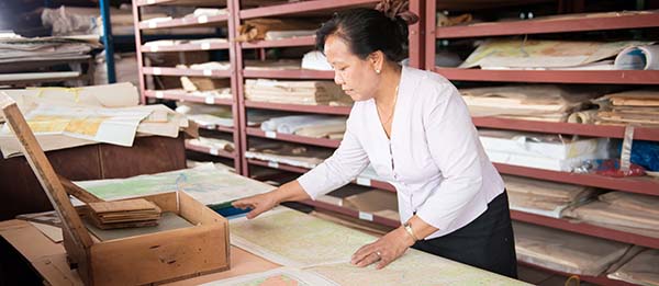
- Map Design
- Map Establishment
- Map Printing
- GIS Database Creation
- Survey Equipment Services
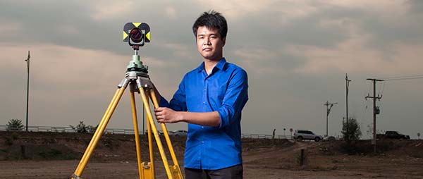
- GPS and Leveling Work
- Topographic Survey
- Surveyors hiring
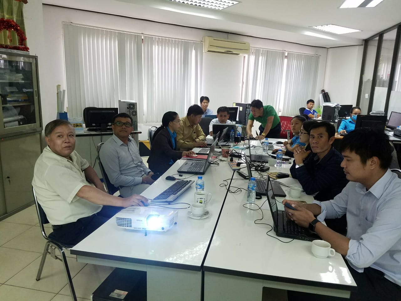
- GIS and related fields training
