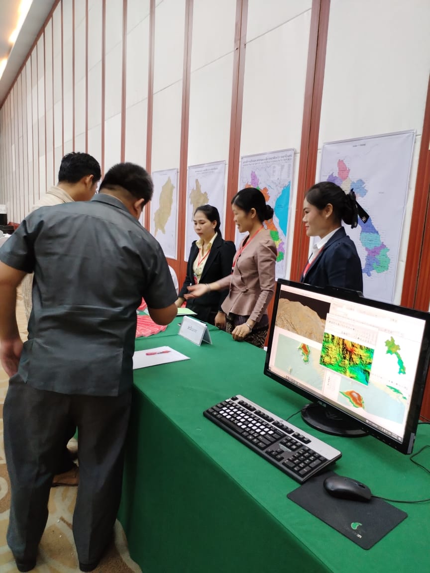
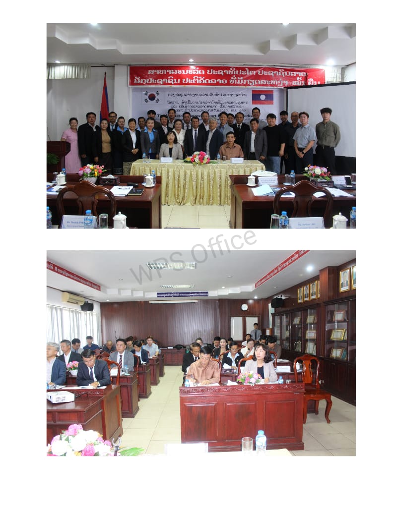
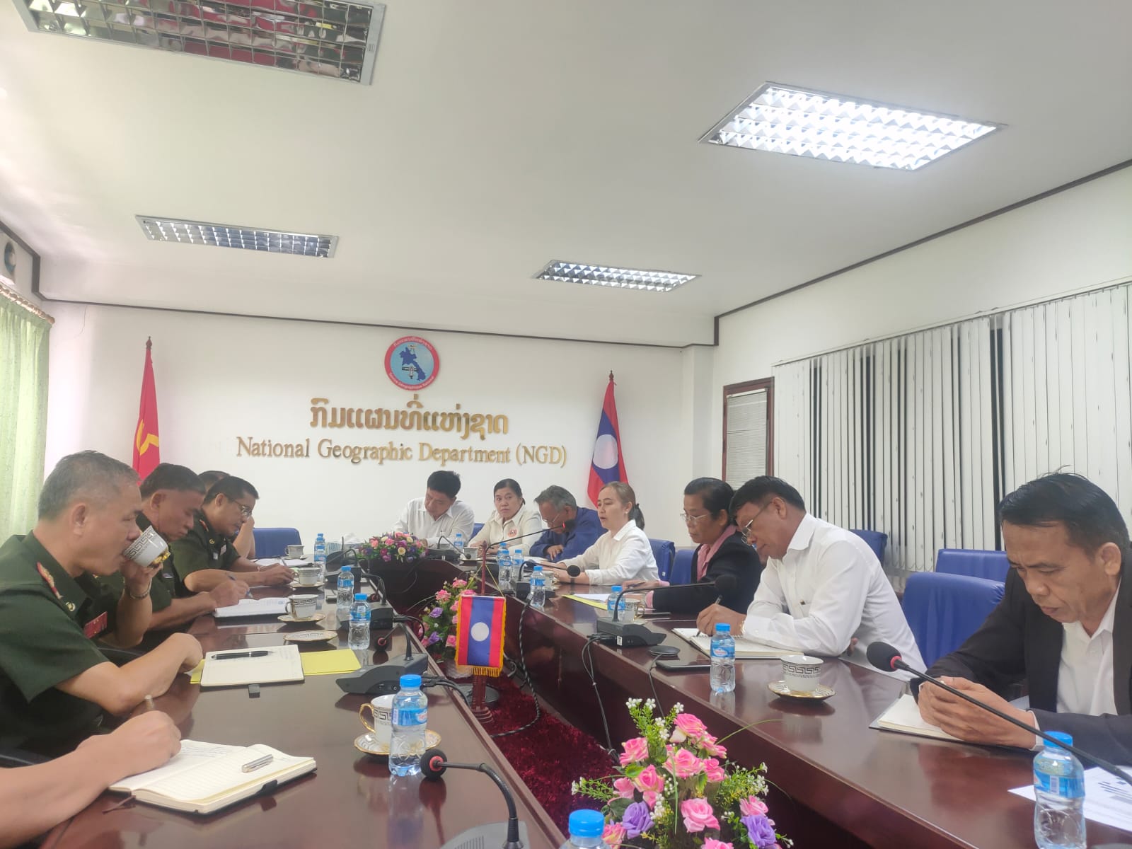
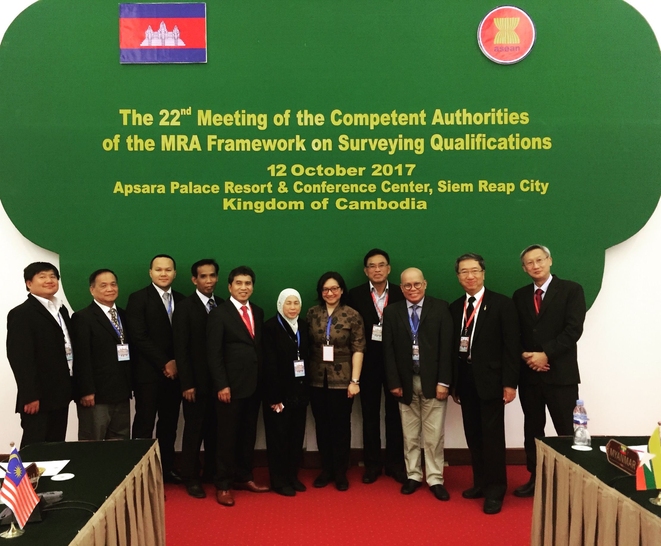
Seminar on Geospatial Data in Natural Resources Management in Lao PDR 28 May 2012
According to the Seventh Five-year Economic Development Plan of Lao PDR (2010-2015), there are several targets in natural resources and environment management. These targets include minimizing environmental impacts of the development, increasing the forest cover to 65% of total land area, completing land allocation by identifying development zones, arresting climate change and global warming, protecting country from natural disasters e.g. floods and reversing environment losses caused due various reasons. In the process to achieve these goals, geospatial data plays a very important role. The purpose/objective of this seminar is to review current situation in natural resources management in Lao PDR, identify the challenges related to it and find solutions how to improve the process with up-to-date and accurate geospatial data provided by National Geographic Department.
Key Information
Date: 28 June 2012
Organised by: NGD
Together with -SNGS Program
Host City;
• Vientiane, Lao PDR
Outline Programme:
Time Description
0830 – 0900 Registration
0900 – 0930 Welcome Message
Dr Wicha Jiwalai
President, ASEAN Federation of Land Surveying and Geomatics
Keynote Speech
Dr ThongChanh Manixay
Vice Minister, Ministry of Home Affairs
0930-1030 Plenary Session#1- National Geographic Department , Survey and Mapping Center
Plenary Presentation #1
Roles and Responsibility of National Geographic Department
Mrs. Sikhay S.Siribounma
Deputy Director General of NGD
Plenary Presentation #2:
Roles and Responsibility of Survey and Mapping Center
Mr. Bouavanh Phoutthavong
Deputy Director General of SMC
1030-1130 Tea Break
1100-1200 Plenary Presentation #3:
Forest Information Management in Lao PDR
Mr. Sukan Bounthabundith, Head of Forest Resources Information Center
Forestry Department, Ministry Agriculture and forestry
Plenary Presentation #4:
Geographical Information used into Land use Planning in Micro Level
Mr. Vinh Pheangdouang
Department of Land Planning and Development, MoNRE
*Complimentary Topic:
Research Initiative carried out on “Lantsang-Mekong River Geography Information System”
Mr. Zheng Pu Bing
1200-1330 Lunch Break
1330-1500 A word from the Sponsors –
Mr Kari Suominen – Chief Technical Advisor of SNGS (Strengthening National Geographic Services in Lao PDR)
Plenary Presentation #6:
Products and clients Survey
Ms. Khamvanh Lorkhamyong
Deputy Director of Planning-Finance and Cooperation Division, NGD
Plenary Session # Strengthening National Geographic Services in Lao PDR
Plenary Presentation #5:
Modern IT System in Ministry of Home Affairs, National Geographic Department
Kitae Douangphouttha,
ICT advisor, Science and Technology Division, NGD
1500-1530 Tea Break
1530-1630 Plenary Presentation #7:
Presentation from UXO Laos
“Lao National Unexploded Ordnance Programme”
Mr. Vilaysouk Souvannamethy
Head of GIS Unit, UXO Laos
Plenary Presentation #8:
GIS-Based Information with Natural Resources Management,
Mr. Vilasith Phomsouvanh
Natural Resource and Environment Institute, (MoNRE)
